
Javier Sánchez
Biography
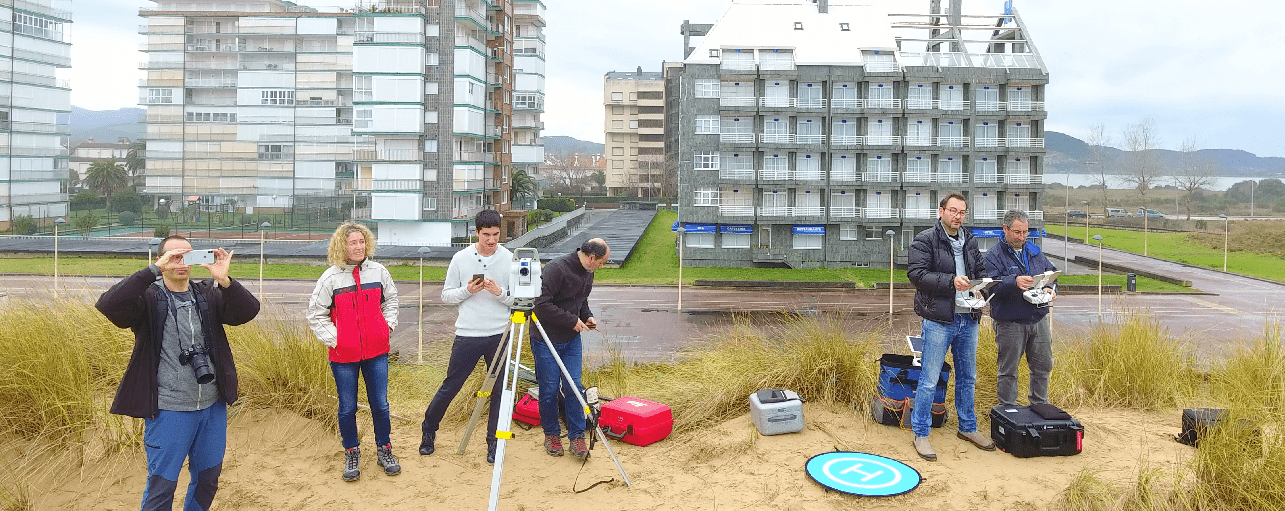
I am lecturer in the Department of Geographic Engineering and Graphic Expression Techniques at the University of Cantabria, and researcher at the Geomatics and Ocean Engineering Group (GeoOcean). My experience is focused on the different methodologies for capturing and processing spatial information in Engineering, from the classic methodologies (photogrammetric, laser scanner,...) to the current ones (using drones). I have participated in and/or directed 10 competitive and 67 non-competitive projects. It is worth mentioning that I have been responsible for the active real-time GNSS network of the Autonomous Community of Cantabria for 7 years. I have been director of 4 doctoral theses.
Contact:
javier.sanchez@unican.es
Recent publications:
Rivas, V., Remondo, J., Bonachea, J., Sánchez-Espeso, J. Rainfall and weather conditions inducing intense landslide activity in northern Spain (Deba, Guipúzcoa)(2020) Physical Geography , Article in press
Tojal, L., Bastarrika, A., Barrett, B., Espeso, J.M.S., Lopez-Guede, J.M., Graña, M. Prediction of aboveground biomass from low-density LiDAR data: Validation over P. radiata data from a region North of Spain (2019) Forests, 10 (9), art. no. 819
Torretojal, L., Espeso, J.M.S., Bastarrika, A., Lopezguede, J.M.; Biomass estimation using LiDAR data,(2018) International Journal of Sustainable Energy Planning and Management, 17, pp. 79-90
Remondo J, Bonachea J, Rivas V, Sánchez-Espeso J et alt (2017). Landslide Hazard Scenarios Based on Both Past Landslides and Precipitation. Matjaz Mikos, Binod Tiwari, Yueping Yin, Kyoji Sassa (Eds.), Advancing Culture of Living with Landslides, 981-988 - June 2017. ISDR-ICL Sendai Partnerships 2015–2025
Sánchez Espeso, J et alt. Landslide database in the lower section of the basin of Deba river in Guipuzcoa, Spain: a tool for the development of hazard and risk scenarios. GSA 2015. Geological Society of America Abstracts with Programs 47 (7), 250. Baltimore, Maryland, USA